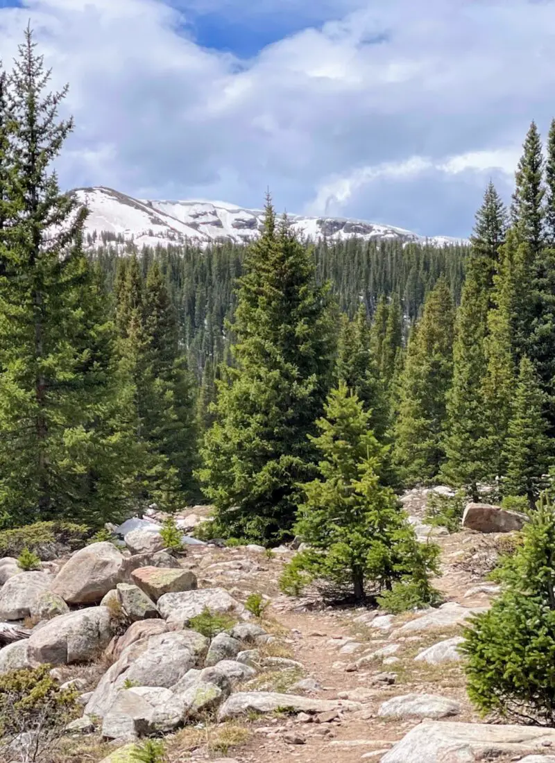
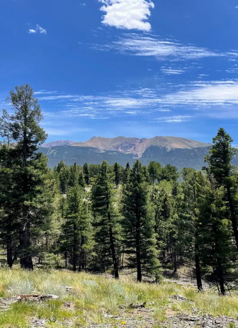
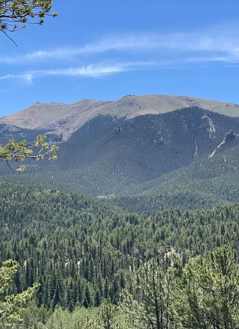
Are you looking for an easy trail where you can enjoy the outdoors? This is the hike for you. Lovell Gulch Trail is not exactly where I would bring friends and family who come and visit (they are usually looking for big and drastic mountain views to wow them…) BUT, I would choose this hike for someone who is looking to do a solo hike with the dog or have a leisurely Sunday with the family.
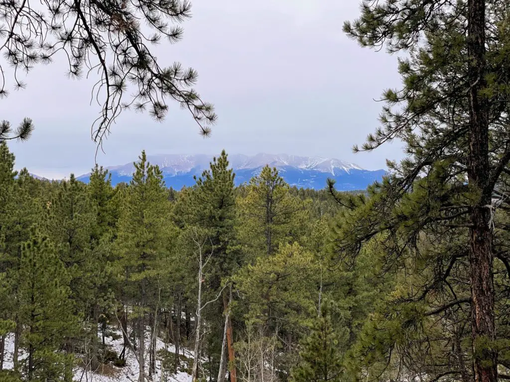
It’s a quiet and peaceful journey within Pike National Forest and if you see other people, they are likely locals. It is a place to enjoy the birds chirping, breathe in the fresh air, take in a great view of the mountains, and most of all, reset.
Fun Fact: This was my FIRST Woodland Park hike before moving to the area. We were looking for houses (stressful!) and—last minute—decided to take Friday off of work (I work remotely) and hit the trails solo. And you’ll see down below that it was a pretty magical day…
Anyways, let me be your tour guide and we’ll get into the details of the Lovell Gulch Trail.
Quick Facts: Lovell Gulch Trail
- Location: Woodland Park, Colorado (Teller County)
- Miles: 5.4 mile trail
- Elevation Start: 8,400 ft.
- Elevation Gain: 931 ft.
- Time: Roughly a 2 hour hike
- Type: Lollipop Loop
- Challenge: Easy-Moderate trail
- Popularity: Moderate
- RATING: 2 Stars.
What are you going to see on Lovell Gulch Trail?
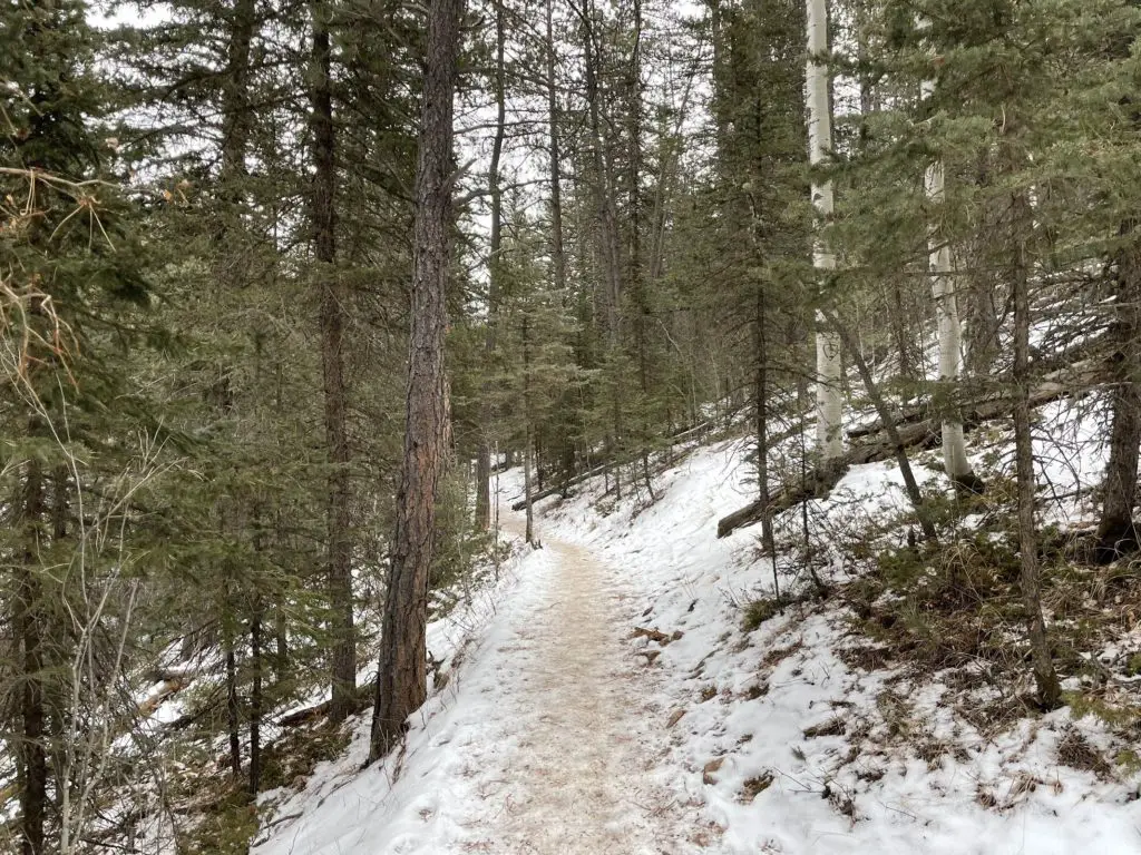
The Lovell Gulch Loop is a lovely hike in nature where you will be surrounded by aspen and pine. The dirt trails lead you through to eventually come upon spectacular views of Pikes Peak, Ute Pass, and high peaks of the Sawatch Range.
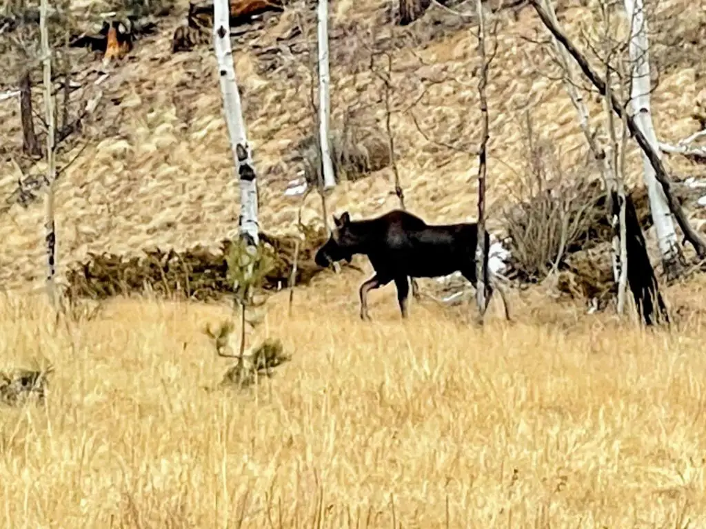
In addition, you’ll find plenty of wildflowers in the spring and summer months, plus changing colors in the fall. And make sure you keep your eyes peeled for animals—you’ll, of course, see and hear birds but may get lucky to spot mule deer and even a moose.
Who Should Hike Lovell Gulch Trail?
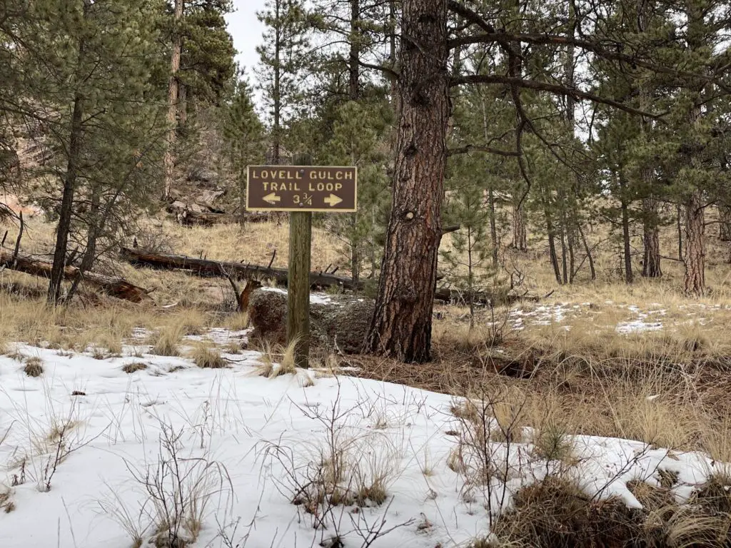
Those who are looking to get into the nature-filled forest for a casual hike and (quick) mountain views. Lovell Gulch Trail has a few inclines but nothing drastic. It’s a fairly easy hike that is perfect for all skill levels and those visiting and/or still acclimating to the elevation in their early days of travel. It’s less than a mile into where the loop spans 3.75 miles.
How to Get There
From Colorado Springs (it’s only 30 minutes!)
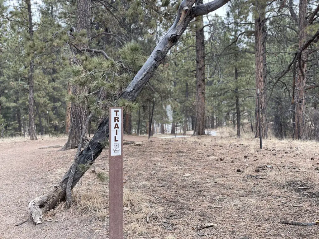
Take Highway 24 West towards Woodland Park. Once you arrive, take a right onto Baldwin Street (at the McDonald’s.) It eventually becomes Rampart Range Road which you will continue on, and after Lee Circle, take the first left and there you will find the parking area and Lovell Gulch trailhead at the end. You will also see trail signs on where to being your journey.
Lovell Gulch Trail Hike
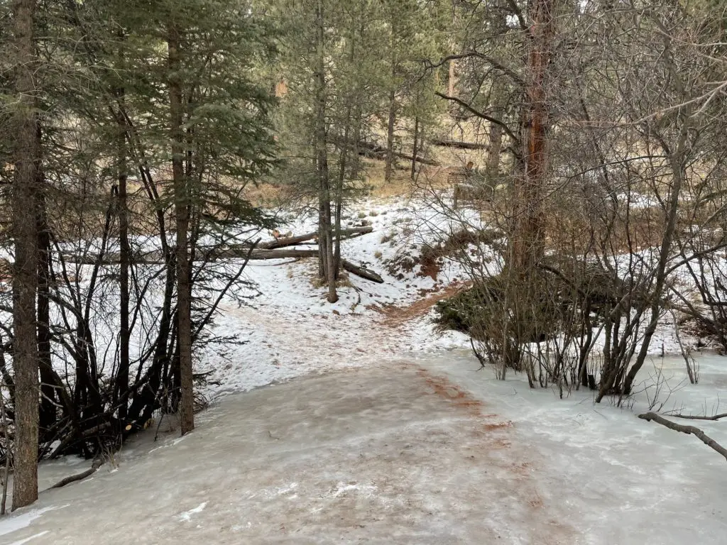
Start following the loose gravel trail at a slight incline and just shy of a mile you will come upon a small, shallow creek crossing (note, you gain less than 200ft on this stretch so it’s nothing major.) The creek was complete ice when I went across, but will not be hard to get over when a small amount of water is flowing. From there, you will see the 3.5-mile loop sign.
Stay right to go counterclockwise. (Note: if you are looking for a challenge, go left—big incline to start you off.)
For the next 1.5 miles or so, you’ll walk the trail (it’s easy to stay on) through the forests and an open, narrow meadow. Take in the peace and quiet, along with the fresh nature smells and beauty of the forest. PLUS, keep your eyes peeled for mule deer and even moose! I was lucky enough to spot two on my hike. (I was too scared to get a picture of them both together! Lol.) Though note, that’s a rare occurrence.
You’ll also spot caves (super cool) and impressive boulders. After some time, you’ll get the sought-after views of Pikes Peak, Ute Pass, and the Sawatch Range through the trees. Shortly after your first major mountain view, you will hit the road and power line. DON’T walk along this road, but rather wrap around and follow the trail signs to begin your loop back around. (This is about your halfway point.)
On your way back, you will hit some steep declines to make your way back down—definitely the sttepest section! You’ll meander through the forest and eventually end up back at the Lovell Gulch 3.5 miles trail sign. Take a right and complete your lollipop loop back to the trailhead parking lot.
Preparation + What to Bring
- Wear Sunscreen. (Don’t Forget Your Lips!)
- Hiking Shoes. You’ll definitely want to wear traction in the winter when you’re dealing with snow.
- Backpack. Something small and light to stash a few things.
- WATER! Plenty of it.
- Snacks. We had some jerky, nuts, and granola bars handy and found a sunny spot on the way back down to refuel.
- Money. Which you won’t need unless you need a beer afterward! 🙂
What to Wear
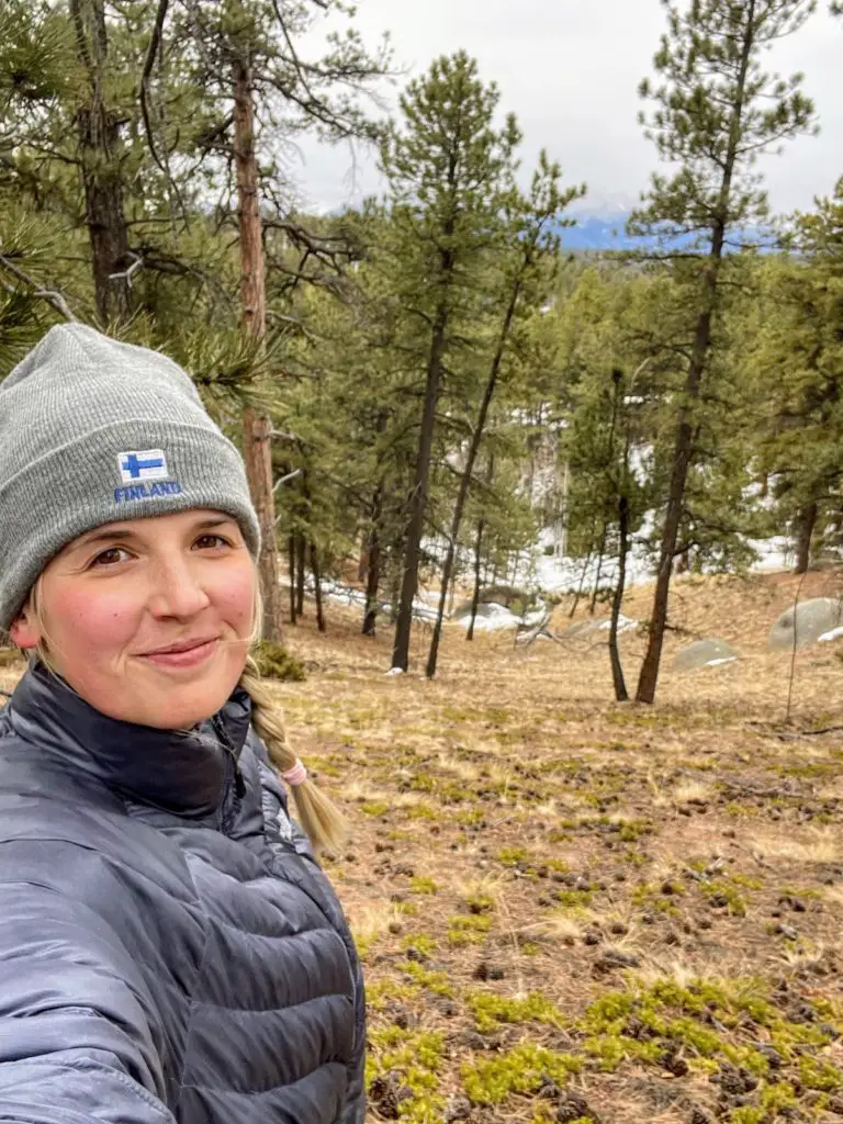
Lovell Gulch requires the basics. Wear layers as you’ll be in both the sun and shaded areas. I did this hike in mid-January so I was fully prepared with a NorthFace winter jacket, a hat, and boots. Obviously, it depends on the season and if we’re having good weather, but dress for your typical walk in the forest. And be prepared for those rapid mountain weather changes!
Where to Go After Your Hike
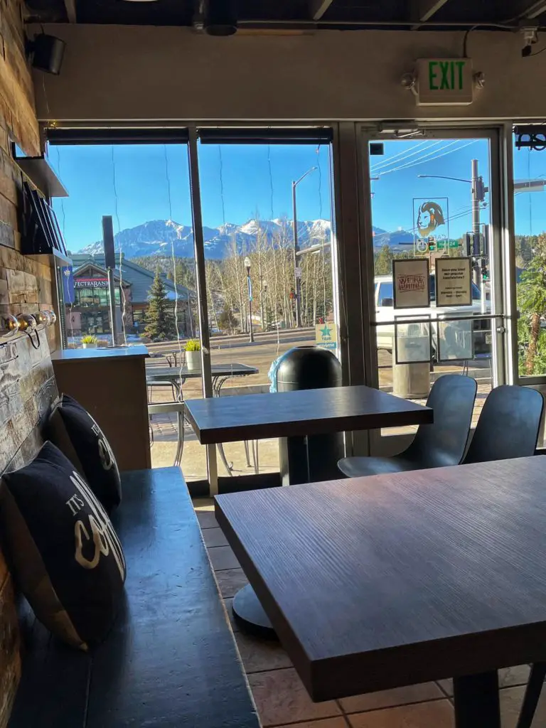
Not far from the trailhead is downtown Woodland Park. On your way ou on Rampart Range Rd, take a right at the McDonald’s and you will see a bunch of places to eat and/or drink after your hike. Depending on what you’re looking for, here are some great options post-hike:
- Breakfast: Cafe Leo is the most beautiful coffee shop with delicious breakfast burritos and sandwiches. And a great Americano! This is a quick and easy stop.
- Lunch: Joanie’s Deli is a great place for a sandwich at a low-key cafe.
- Happy Hour: Bierwerks has an outdoor patio and you can choose from a range of German beers and snacks!
- Dinner: Carmen: A Tapas Grill and Bar is a fun stop for wine and tapas.
Lovell Gulch Trail Hiking Guide
There’s your guide! Enjoy Woodland Park’s Lovell Gulch Trail—it really is a pleasant hike and serene escape. Take pictures. Keep your eyes peeled. Don’t liter. And enjoy your time in nature. I hope this hike gives you the reset you are looking to accomplish!
Looking for a Hike That’s a Bit Tougher?
This area is FULL of hikes (and other outdoor activities), and Raspberry Mountain is a nearby MUST! Take on some extra exploration and read the full Raspberry Mountain Hiking Guide. Plus, stay tuned—I come out with regular posts centered around hiking.
