It is tough to keep Minnesotans inside when summer rolls around! Between the sunshine and warmth on our skin, it is something we don’t take for granted! Luckily, Minnesota has some of the best parks and trails in the country whether they are on the shoreline, in the forest, across the bluffs, or down in the river valleys. Here are my top recommendations for summer hiking trails in Minnesota:
Summer Hiking Trails in Minnesota – Twin Cities
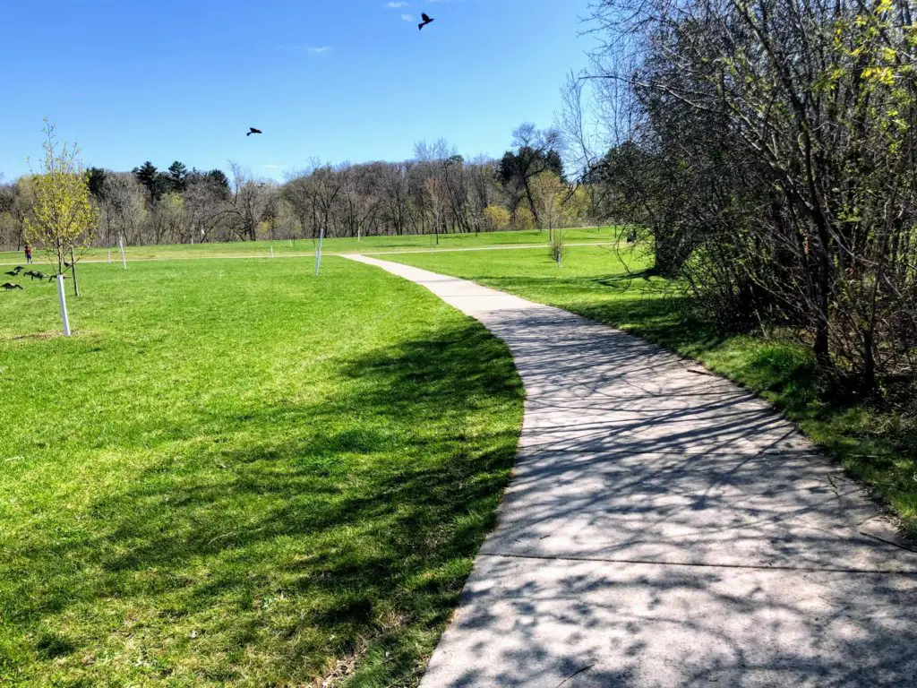
We’ll kick things off in the cities! Despite an area full of skyscrapers and crosswalks, you can still find beautiful trails surrounded by nature right near the heart of downtown.
Mississippi Gorge Regional Park
Minneapolis-St.Paul
One of the great city parks of Minneapolis/St. Paul will give you the lush green woodsy feels while still offering views of cityscapes. Great for day hikes in the Twin Cities, Mississippi Gorge Regional Park is on both the east and west banks of the Mississippi River. With trails on both sides, you can choose to be in Minneapolis or St. Paul and there are also recreation areas and picnic shelters.
Things to Know:
- COST: You can visit this city park free of charge.
- East River Parkway: a 2-mile riverside trail that runs along the east bluff of the Mississippi from Washington Avenue to Emerald Street.
- West River Parkway: 7.24-mile bike trail that runs along the west bluff of the Mississippi from Plymouth Avenue to Godfrey Parkway.
- Winchell Trail: 5.4 miles out and back trail between Franklin Avenue South and East 44th Street.
- Dog Parks: there are dog parks on both the Minneapolis and St. Paul side.

Fort Snelling State Park
Minneapolis-St. Paul
Located right in the Minneapolis-St. Paul area is one of the best places to hike in Minnesota. Fort Snelling State Park, specifically Pike Island Trail, loops around where both the Minnesota River and Mississippi River converge. There are beautiful canopies of trees for beautiful photos and the trail is pretty flat and accessible for all hiking levels.
Things to Know:
- Fort Snelling State Park Map
- COST: A one-day pass is $7, a year-round state park pass is $35.
- Pike Island Trail: You can choose the 1-, 2-, or 3-mile path, and your journey should take anywhere from 20-60 minutes.
- Pro Tip: if you are ever stuck at the Minneapolis airport, this state park is only 2 miles away!
More Twin Cities Hikes
- St. Anthony Falls Heritage Trail and Pillsbury Islands: You will get plenty of classic Minneapolis views while on this 1.7-mile trail—including the Stone Arch Bridge.
- Theodore Wirth Park: Believe it or not, it’s nearly as big as Central Park in New York City! TW is located in Golden Valley, just north of Minneapolis. And the Wildflower Trail is a great option!
Summer Hiking Trails in Minnesota – South
Down in southern Minnesota, you will find even more beautiful trails. This part of Minnesota gives you a breath of fresh air in the least chaotic part of the state. While these places can get busy, it feels less overwhelming than the city or northern Minnesota.
Sugar Loaf Bluff
Winona
This hiking trail is short (though you’ll battle a hill) with rewarding views of the beautiful bluffs running along the Mississippi River in Winona. You’ll make your way through the forest trail and the highlight is the 85 ft. chunk of rock on top of the limestone bluffs that is by far the biggest of many large rocks. Sugar Loaf Bluff is a must-do hike that many locals can say they have checked off their list!
Things to Know:
- Sugar Loaf Bluff Trail: 1.2-mile out and back trail.
- COST: Free of charge.
Great River Bluffs State Park
Winona
Another place to hike in bluffs country! This Winona hiking area, located 13 miles southwest, is the Great River Bluffs State Park where you will get blufftop views of Mississippi River Valley. Find a short or long hike, amongst King’s and Queen’s Bluff, that’s in a quiet environment and perfect when you feel the need to “get out of town.”
Things to Know:
- Great River Bluffs State Park Map
- COST: A one-day pass is $7, a year-round state park pass is $35.
- MILES: 6.5 miles of trails.
- Great River Bluffs Trail and Kings Bluff Loop: 3.8-mile loop trail.
More Southern Minnesota Hikes
- Minnesota River Trail: a 10.7 out and back trail in Mankato that offers views of the river, limestone cliffs, and connects to Sibley Park.
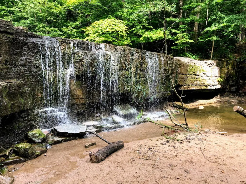
- Nerstrand Big Woods State Park: Feels like a true getaway and an easy hike that’s only a 1-mile out and back trail that leads you to a waterfall. Visit here if you are ever heading down to Faribault, Minnesota.
Summer Hiking Trails in Minnesota – North
Jay Cooke State Park
Carlton
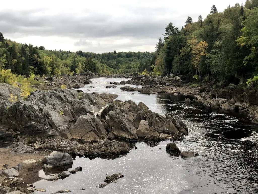
One of Minnesota’s most well-known and visited parks, Jay Cooke State Park is the perfect place to hike with spectacular views. It’s a short walk to the pedestrian bridge from the parking lot where you will definitely want to stop and admire the view in all directions. But don’t stop there. There are a ton of trails to choose from, and of all Minnesota State Parks, this is one of my favorites. Located in Carlton, just 18 miles south of Duluth, it’s a great pit stop before hitting the North Shore.
Things to Know:
- Jay Cooke State Park Map
- COST: A one-day pass is $7, a year-round state park pass is $35.
- MILES: 50+ miles of hiking trails.
- Silver Creek Trail: a 3-5-mile loop. You’ll cross the Swinging Bridge and enjoy views of the St. Louis River and Silver Creek.
- Carlton Trail Trip: a 5-mile loop with spectacular views of the St. Louis River.
More Northern Minnesota Hikes
- Interstate State Park: one of my FAVORITE areas in all of Minnesota with the best hiking trails just an hour north of the cities. Read all about it: The Best Things to Do in Taylors Falls, MN.
- Banning State Park: hit Quarry Nature Trail which is a great place that will take you along Kettle River for wild and scenic views. It’s located directly off 35W as you’re going north.
Summer Hiking Trails in Minnesota – North Shore
Magnetic Rock Trail
GRAND MARAIS
If you drive the scenic North Shore in Northern Minnesota this summer, make sure to get all the way to Grand Marais. It is one of the most charming small towns in the state and is close to a ton of great hiking options. For a unique and fun hike, travel up the Gunflint Trail (by car, the trailhead is 47 miles up once you make the turn on in Grand Marais), and head out on Magnetic Rock Trail. You will arrive at a 60-foot magnetic rock and it’s a great time checking out exactly what it does…
Things to Know:
- Magnetic Rock Trail Map
- COST: Free of charge.
- MILES: 4.3 miles out and back trail.
- Bring a compass—to see the effect the rock has, not because you’re going to get lost lol.
- Don’t let the drive stop you. It’s so much fun! And there’s plenty of other things to do.
For ALL of the details on the Gunflint Trail, including things to do and where to stop and have a drink, read What to Do in the Gunflint Trail.
Eagle Mountain Trail
Grand Marais
Also in Grand Marais, Minnesota, you can hike Eagle Mountain Trail to reach the highest point in Minnesota (2,301 feet.) About 3.5 miles one way, the last mile is steep as you get near the top, and much of the rugged trail is rocky and uneven. But it’s worth the challenge for a beautiful hike with the best views and a true north experience.
Things to Know:
- Eagle Mountain Trail Map
- COST: Permits are required which you can get at the kiosk—a good portion of this trail is within the Boundary Waters Canoe Area Wilderness.
- MILES: 6.3-mile out and back trail.
Grand Portage State Park
Grand Portage
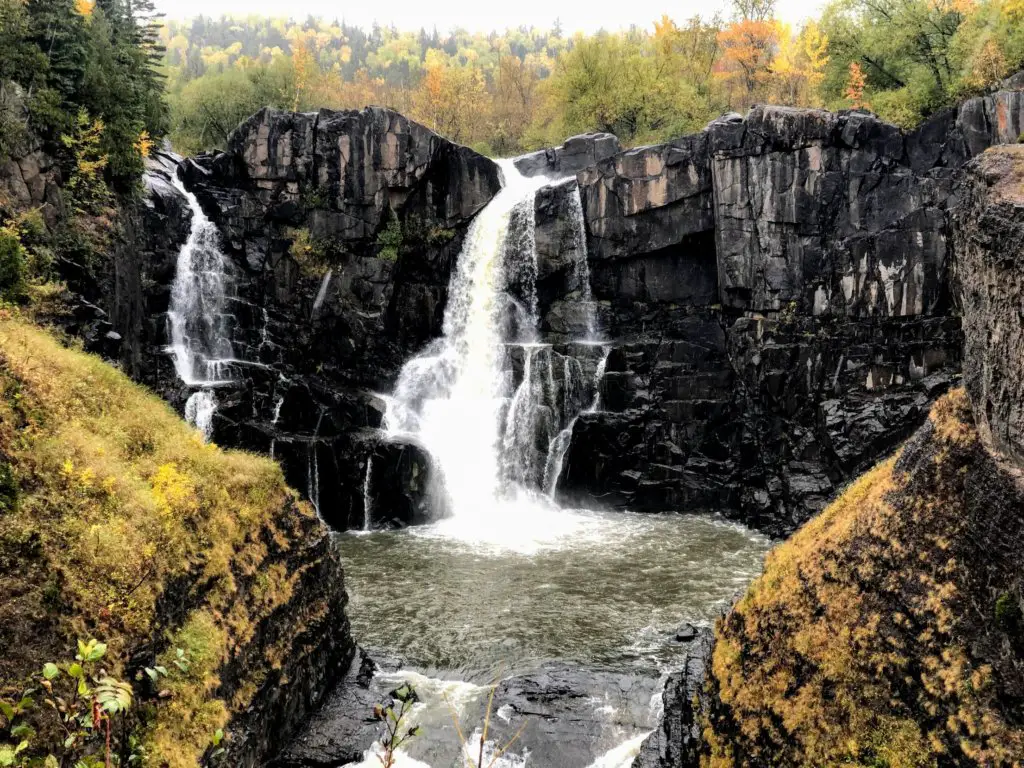
One of my favorite hikes to date (it was even raining!), was the High Falls mile loop trail that leads to the tallest waterfall in Minnesota. Right on the Canadian border, the other side of the falls is where you can wave to our Canadian friends, out hiking on the other side! Much of Grand Portage State Park is paved trails which makes it great hiking trails with easy access to the top sights. Definitely add this spot to your list if you are planning your North Shore trip.
Things to Know:
- Grand Portage State Park Map
- COST: Free of charge. Yes, even as a state park!
- MILES: 4.5 miles of trails.
More Hiking on the North Shore
- Split Rock Lighthouse State Park: A beautiful place with views of Lake Superior and an epic lighthouse.
- Tettegouche State Park: It’s tough to pick but I think this is my favorite state park in Minnesota. Highly recommend High Falls and Shovel Point!
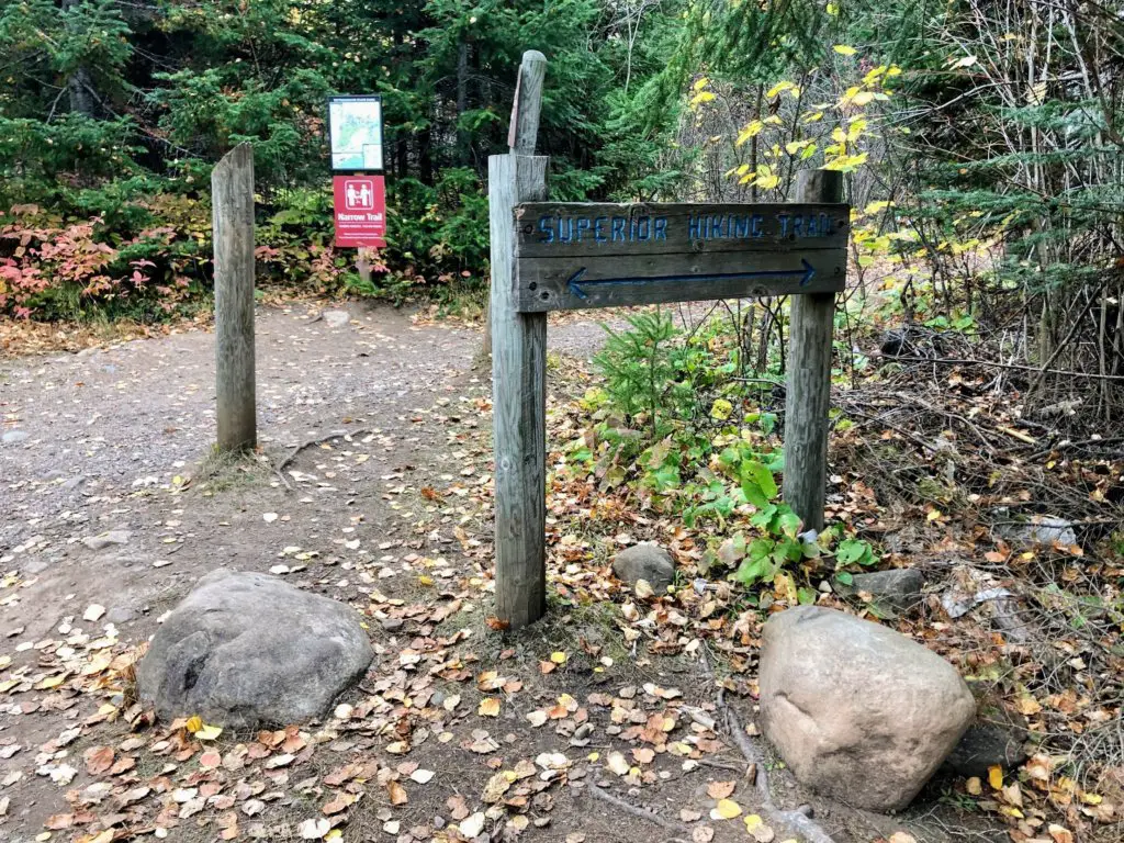
- Superior Hiking Trail: The crown jewel of Minnesota trails that leads you through the gorgeous Superior National Forest. Everyone should get on this trail at some point!
Minnesota Hiking Trails in All Seasons
- The Best Spring Hiking Trails in Minnesota
- Where to Hike During Minnesota Winter–and Love It
- Fall—Stay Tuned!
Minnesota’s State Parks are some of the best. And layer in regional parks plus a few spots off the grid and you are going to find the best ways to get out and experience outdoor adventure on summer hiking trails in Minnesota!
