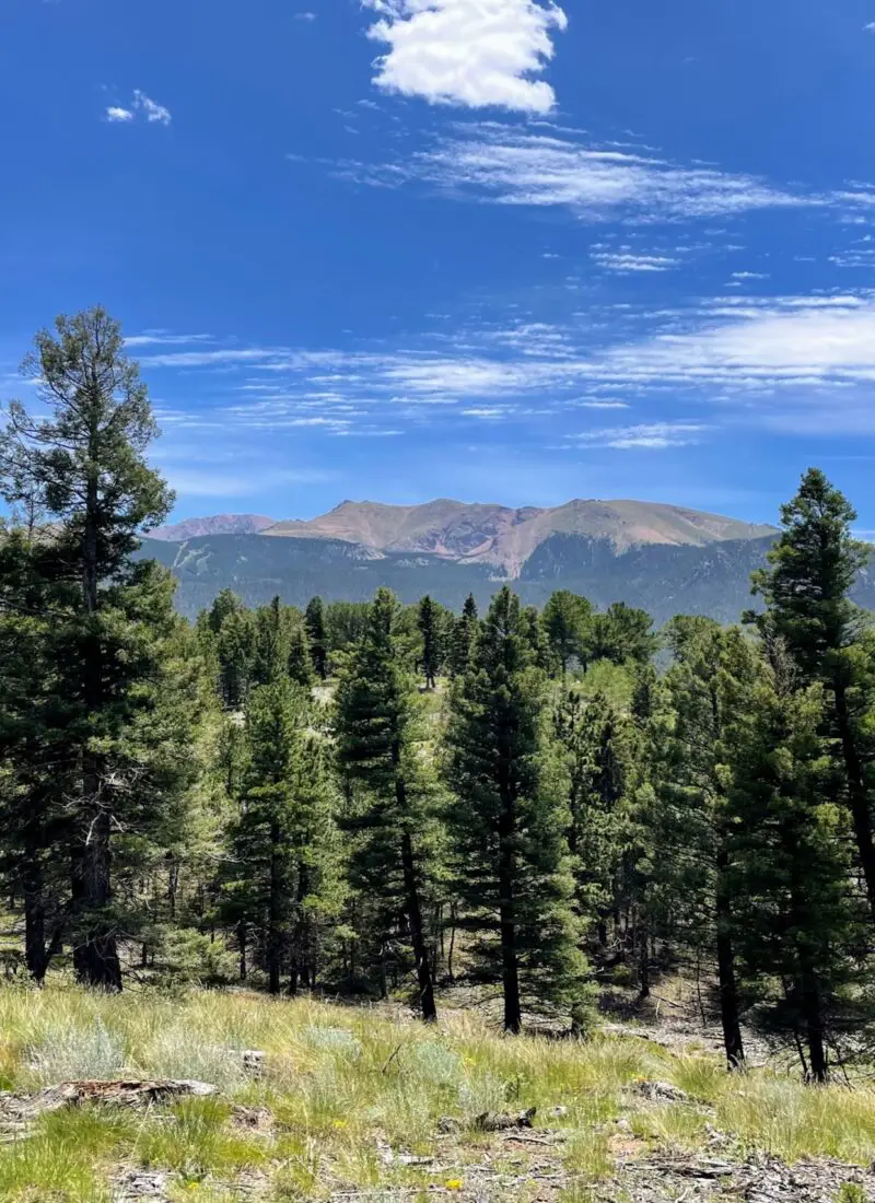
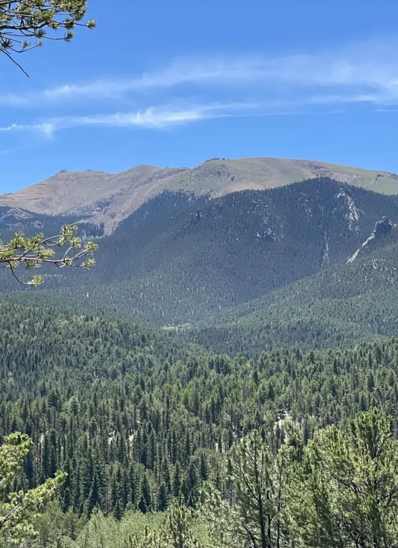
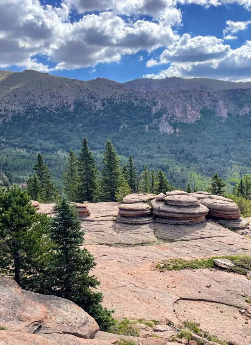
The town of Woodland Park, only about a half-hour from downtown Colorado Springs, offers miles of trails with incredible mountain views, waterfalls, creeks, crazy rock formations, and wildlife. The outdoor recreation and hiking trails near the Woodland Park area are next-level and something that you want to experience!
And with so many great trails, how can you choose?
Let me help you narrow it down. All of the hikes below are within 45 minutes of Woodland Park. You can pick one that’s the number of miles you looking for with just a little bit (or a lot of elevation!)
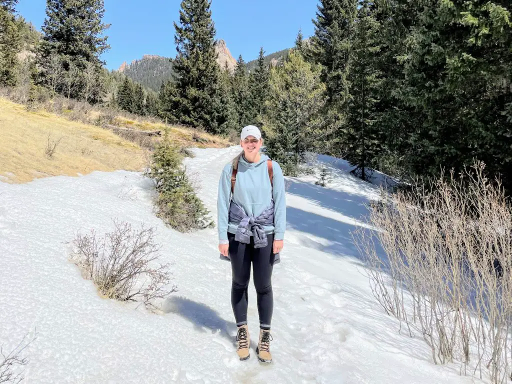
The Best Hiking Trails Near Woodland Park, Colorado
[I moved to Colorado in February 2022. I usually hike once a week and will definitely continue to add hikes here as I go. Follow me on Instagram where you’ll see them in real-time!]
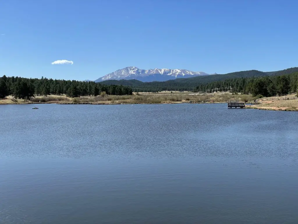
Manitou Park Lake Trail
Easy | 2.4 MileS | 98 ft. ELEV Gain
This is a great place for everyone in the family. Manitou Lake has a lollipop-loop trail that gives you a little Pikes Peak, forest, and water all in one. Plus, it’s an easy, flat trail that all abilities can complete.
It does cost $8 to enter the park so I recommend making at least a half-day out of it. (I wouldn’t say the $8 is worth it for just the hike.) You can bring your kayaks, fishing poles, and some food and beers. It’s an awesome, relaxed place to veg out. And the trail itself is well-maintained and easy to follow.
PLAN: 45 MINS | MAP
Rainbow Gulch Trail
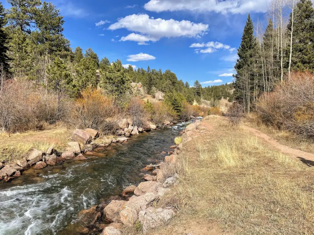
Easy | 3.4 Miles | 269 ft. ELEV. Gain
A hike to Rampart Reservoir via Rainbow Gulch Trail is a nice, out and back that leads to the water. About a half-mile in, you’ll start to follow the river—great views and the best noise.
Make a half-day out of it (kayaks, fishing poles, and snacks are all encouraged here, too!), or just use this trail as your post-work walk one evening. It’s a peaceful place to get your legs moving.
Note: Rampart Range Road turns into a (very bumpy) dirt road on your way to the trailhead. I would drive our truck vs. sedan next time!
PLAN: 1 hour, 15 MINUTES | MAP
Limber Pines Trail
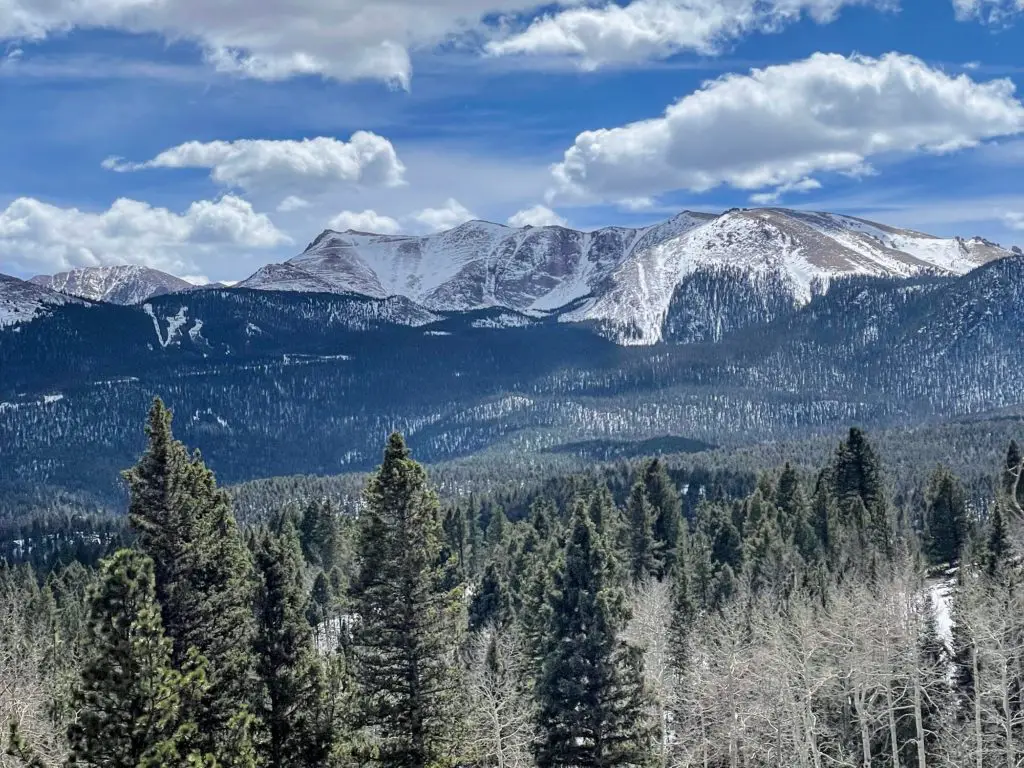
Easy | 2.8 Miles | 390 ft. ELEV. Gain
This is a top loop trail for visitors of most skill levels. It’s quick, and the elevation gain is low but you’re still rewarded with fantastic views of Pikes Peak. Like, views that are far superior to the effort you need to put in. It has a few steep, though very manageable, inclines, otherwise is flat or downhill. In addition to the mountains, you get views of the North Catamount Reservoir as well. Read all of the Limber Pines details.
There’s a small parking lot here that I’ve always been able to park in. But, if it’s full, go on the street.
PLAN: 1 HOUR | MAP
Lovell Gulch Trail
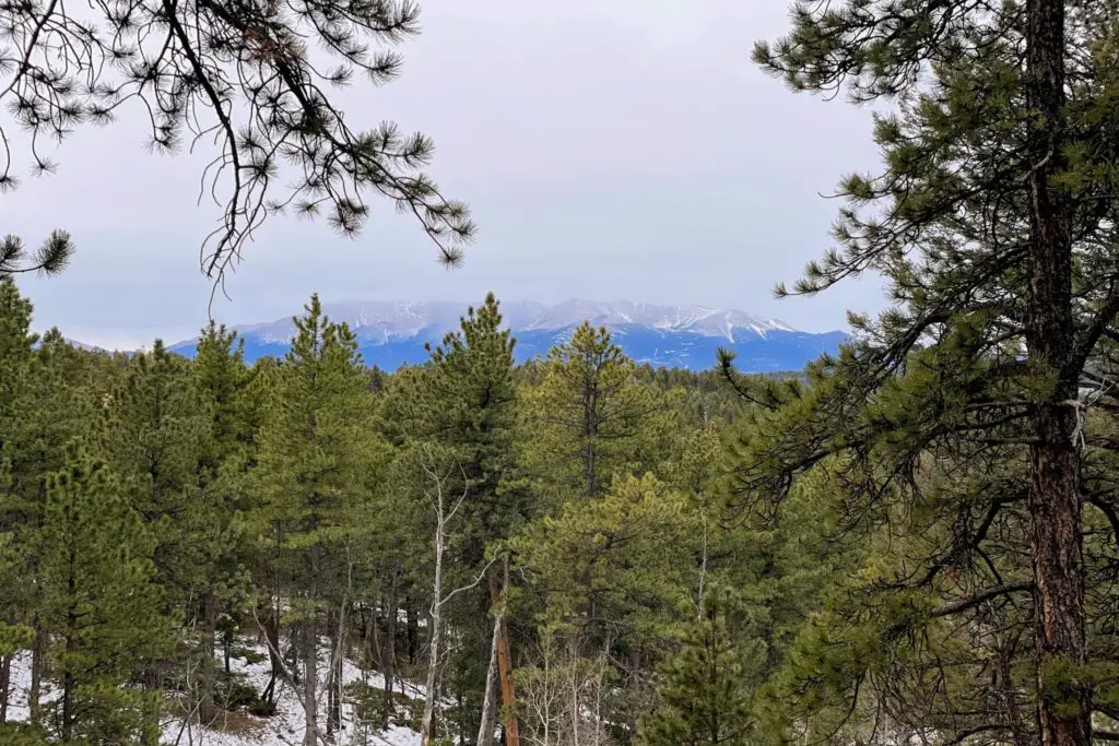
MODERATE | 5.4 Miles | 931 ft. ELEV. Gain
Right within the Woodland Park city limits, this nice trail is easy to access and a calming place in nature. A popular trail for locals, Lovell Gulch features a creek to cross, aspen trees and forest, caves, open spaces, and a (quick) Pikes Peak sighting.
At just below five and a half miles, it’s a great workout and solo hike. Though stay safe and smart; there tends to be wildlife in here. I saw two moose! Read the full Lovell Gulch breakdown.
PLAN: 2 hours, 15 MINS | MAP
Cheeseman Canyon
MODERATE | 5.3 Miles | 475 ft. ELEV. Gain
This is one of the best places in the area. Drastically different views than snowy mountain peaks, but man, just as beautiful! Cheeseman Canyon is a very popular attraction for fly fishermen, but the hike is just as great. And worth the 45-minute (beautiful) drive from Woodland Park.
You’ll head right into the canyon as you follow the South Platte River. And the huge rocks, river, and walls of trees make for fantastic views. There is a good size parking area here and you’ll have no problem finding the trailhead. There is a bathroom as well! Read the full hiking guide.
PLAN: 2 hours | MAP
Thomas Loop Trail
MODERATE | 2.4 Miles | 643 ft. ELEV. Gain
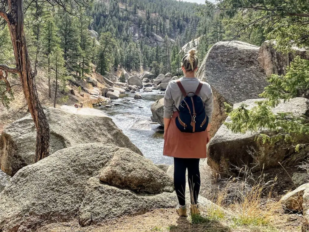
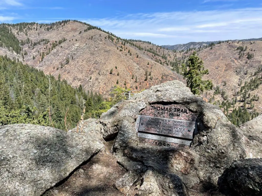
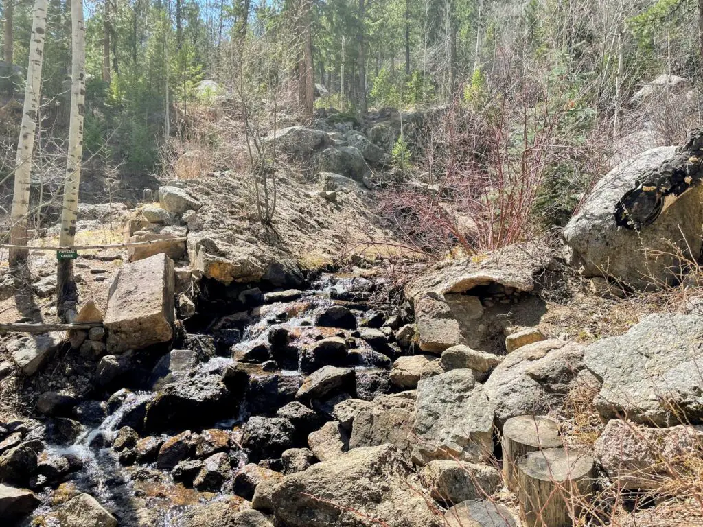
This is one that I thought was going to be pretty good, yet turned into GREAT. Located in Green Mountain Falls (west of Manitou Springs), the Thomas Loop Trail combines the Catamount Falls and Crystal Falls for one fun hike! And it’ll give you a couple of good inclines to get your booty working.
The day I went, I went counter-clockwise and saw Crystal Falls first which was low water level but pretty. And I had to work for Catamount Falls which was totally worth it and flowing heavy. (It was spring.) Regardless, you will start right in the small town of Green Mountain Falls where you can spend some time at a small lake when you’re done. Keep your eyes peeled for mule deer in the area.
PLAN: 1 HOUR, 15 MIN | MAP
Looking for new hiking boots? These Wantdo Women’s Hiking Boots are comfy, waterproof, have great traction—plus, they’re cute and affordable!

Bald Mountain Loop
MODERATE | 4.1 Miles | 1,499 ft. ELEV. Gain
This was another somewhat unexpected OMG! I knew there was a tough incline to start (it definitely was) and mountain views. But my goodness, they were drastic and beyond beautiful. There is a small parking lot or street parking as well.
The first .8 miles is a good portion of the elevation gain. You’ll need a couple of breaks. But it’s so worth it! And you can choose between 1.6, 2.8, or a 4-mile hike all in one place—just take the back trail you wish.
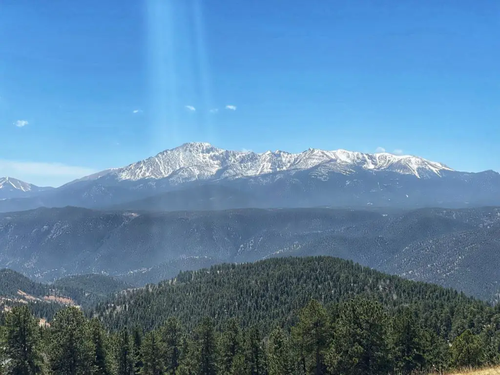
All three loops will take you up Bald Mountain and you’ll catch views of Pikes Peak and downtown Woodland Park. I was the only one up here on Sunday afternoon and it was awesome. TIP: It can be WINDY up here!
PLAN: 2 HOURS | MAP
The Crags
MODERATE | 4.8 Miles | 820 ft. ELEV. Gain
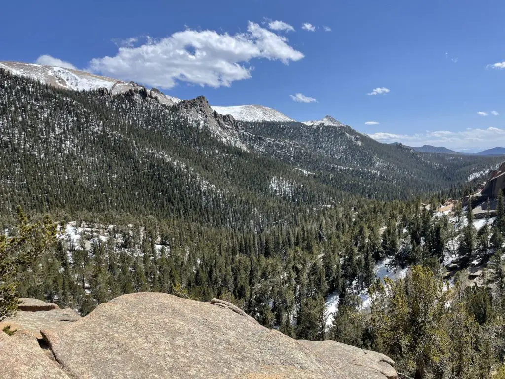
I think this is the second-best hike in the area. A scenic trail within Pike National Forest, The Crags is a great day hike to check out wild rock formations. And, of course, Pikes Peak, Rampart Range, and Ute Pass. It’s a sweet hike from start to finish.
Right at The Crags trailhead is the toughest part—a set of switchbacks. From there, it evens out and doesn’t ascend again until just before the summit. You’ll take in the weird rocks and small streams along the way. And keep your eyes open for moose and black bears!
There is a bathroom and picnic sites. Read more about The Crags. NOTE: Add an additional mile and a half in the winter when the gates are closed! You will pass this next trailhead on your way…
PLAN: 2 HOURS | MAP
Raspberry Mountain
MODERATE | 5.2 Miles | 1,013 ft. ELEV. Gain
Which (I think) is the best hike in the area (and definitely my favorite 🙂 If you’re in the area, do this hike—you won’t regret it. The top of Raspberry Mountains offers views of the Cheyenne Mountain, Front Range, North Catamount Reservoir, and the top of Pikes Peak. It’s 360 degrees of gorgeous.
Parts of the trail you’ll hit switchbacks, do some bouldering to the summit, and enjoy a beautiful patch of open space all in one hike. If you’re in shape, you can do this and I totally recommend it.
NOTE: Add an additional mile in the winter when the gates are closed! Get the full rundown of Raspberry Mountain.
PLAN: 2 HOURS, 30 MINS | MAP
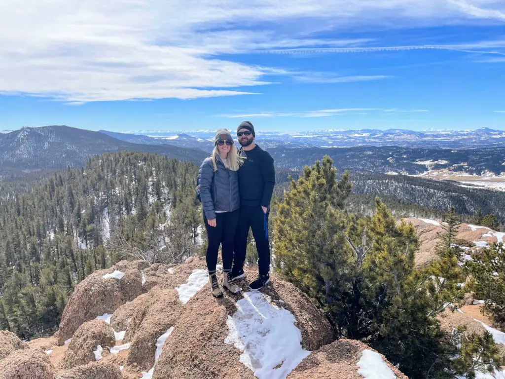
My TBH (To Be Hiked) List in Woodland Park…
As I mentioned, I will continue to update this blog post with hiking trails in Woodland Park as I do them. And I’ll keep this running list of those I’m looking to do next. Let me know in the comments if you enjoy them and any tips!
Pancake Rocks
MODERATE | 6.0 Miles | 1,669 ft. ELEV. Gain
This looks like a hiking trail with great views including interesting rocks, which the name references. Looks like a nice challenge that can be made even more so by combining it with Horsethief Falls. I’m really looking forward to this one. These views look so unique!
PLAN: 2 HOURS, 15 MIN | MAP
Elder-Fehn Trail
MODERATE | 4.8 Miles | 928 ft. ELEV. Gain
This is another one that’s in the Ring the Peak area (like Limber Pines above.) Seems like a pretty good workout with great views of Pikes Peak. I keep avoiding it just because I’ve been on two hikes in the area and seems like I’ll see a lot of the same? One day I will get there.
PLAN: 3 HOURS | MAP
Mueller State Park
I have not been here yet! Mostly because you need to pay—$9 for a daily pass. Not that that’s a lot, but I guess I am crossing off free ones first. This is one of the more popular places in the Woodland Park area with all of its trails to choose from. Not to mention, their mountain biking, cross-country skiing, and horseback riding.
The Best Hikes in Colorado Springs
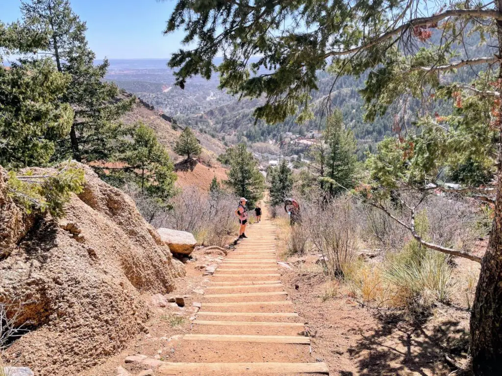
There seem to be ENDLESS hiking trails in the Colorado Springs area. I have crossed off quite a few including Garden of the Gods, Red Rock Canyon Open Space, and The Incline. I am working on a CO Springs hiking post and will link here once I complete a few more. You can check out my Instagram Highlights for previews.
The area is more partial to the red rocks, but Pikes Peak does love to make its appearance known on some as well. I love the drastic differences between Woodland Park hikes and Colorado Springs hikes.
I will give you one: this Difficult Trail known as The Incline.
After You Hike—Downtown Woodland Park
After you hit the hiking trails in Woodland Park, you most definitely will want to make a stop in Downtown Woodland Park! It’s a fun mountain town where you can shop, eat, and drink. Make sure to read The Best Restaurants in Woodland Park to find your post-hike rewards.
The Best Hiking Trails Near Woodland Park, Colorado
You will absolutely love the area. Happy Hiking!
Did this post help you out? Support the work and pass along $5 for a Coors Light 😉 VENMO: @Amber-LBB or PAYPAL: amber@littlebluebackpack.com. THANK YOU.
